LiDAR: UAV and car mount
|
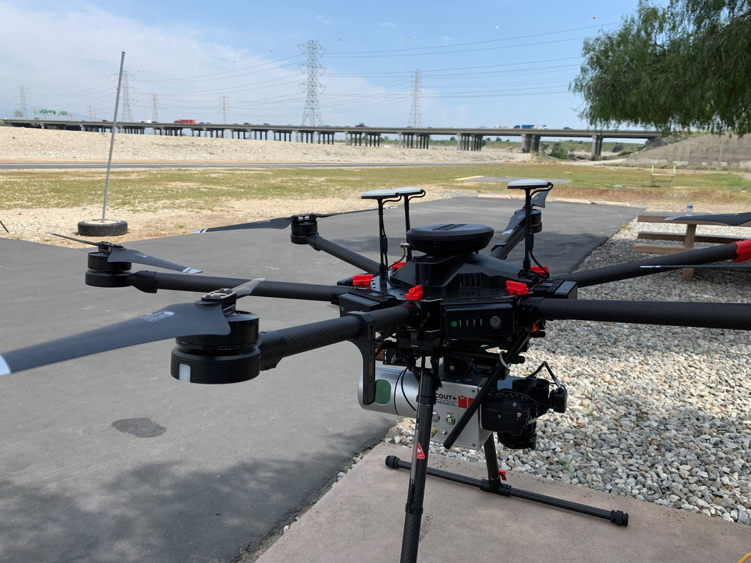
The lab is equipped with state of the art Riegl sensors- the Vux-120 and the miniVux-3UAV. Both these sensors are lightweight and compact airborne laser scanners designed for unmanned aerial vehicles (UAVs). The Vux-120 scanner offers 2 TB of internal storage, and is integrated with external IMU/GNSS systems (APX-20). Its measuring beam alternates between nadir, +10 degrees forward, and -10 degrees backward, ensuring comprehensive data capture, even in challenging environments, while the miniVux-3UAV features a high pulse repetition rate of up to 300 kHz, providing up to 100,000 measurements per second through a 360-degree field of view, and thus acquiring a dense point pattern that allows detailed data capture of small objects for various mapping applications. It sensor has multiple target capability and therefore has excellent penetration of vegetation. The miniVUX-3UAV integrated with an IMU/GNSS system (APX-15) is mounted on a DJI M-600
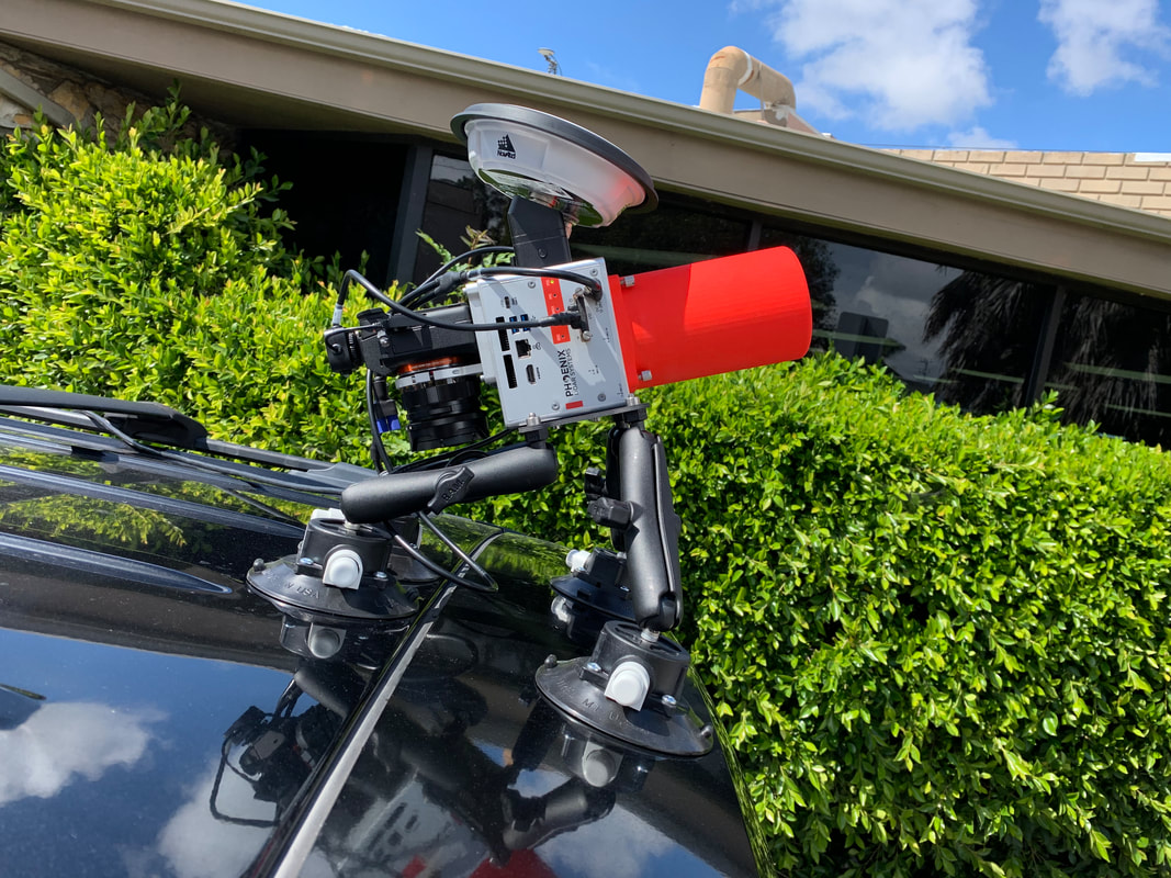
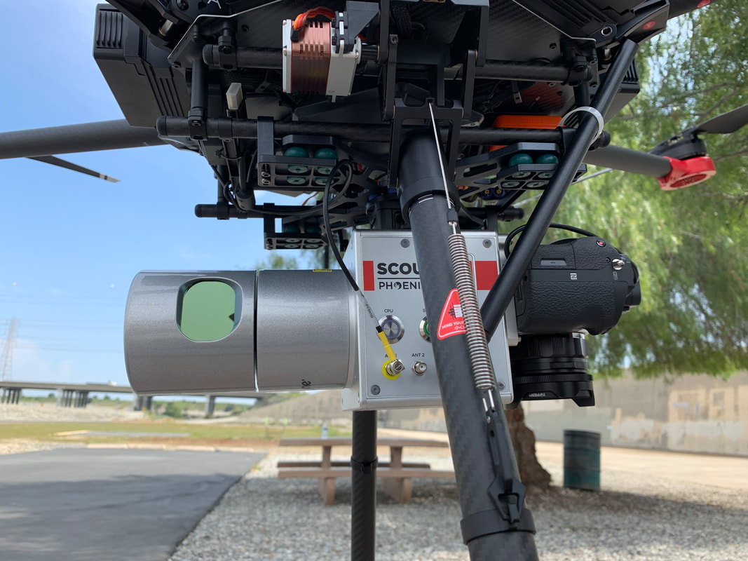
The lab is also equipped with Phoenix Scout-32 integrated with very precise IMU/GPS system. It is a powerful 32-channel, lightweight system that collects survey-grade data with an AGL range up to 65 m. The UAV package comes with a 42 MP visual camera, an excellent option for building high-density point clouds and RGB fusion of smaller scan areas. The system can be mounted to UAVs, a car, or backpack. Sensors include:
The lab also has the Leica Pegasus Backpack, which is a wearable mobile 3D scanning and mapping solution for both indoor and outdoor applications. It boasts two Velodyne VLP-32/16 laser scanners, capable of delivering exceptional performance in both horizontal and vertical directions, complemented by a suite of five digital video cameras. This fusion of cutting-edge technology is harnessed through the utilization of Fused SLAM (Simultaneous Localization and Mapping) technology, coupled with the Backpack's Global Inertial Navigation System (INS), which encompasses navigation satellite systems (GNSS) and an Inertial Measurement Unit (IMU). This synergy enables the precise geo-referencing of Lidar point clouds with camera images, achieving an impressive relative accuracy of 2-3 cm. |
Sample projects
Coming soon...


