Media contributions
4/30/2019: Geo-Resolution at SLU: Transforming St. Louis into a National Hub for Geospatial Science link
5/6/2019: When a Tree Falls in St. Louis, Will the Power Go Out?
Research by Vasit Sagan, Ph.D. (Earth and Atmospheric Sciences) and graduate student Sean Hartling pairing satellite imaging data with machine learning techniques to map local tree species was covered by Science Magazine, Elexonic, Security Boulevard, Bioengineer and Webwire.
1/14/2019: Catholic value of discovery motivates SLU research, St. Louis REVIEW
Geospatial Initiatives
GeoSLU: The SLU Geospatial Research, Training and Innovation Enterprise has been awarded a planning grant to develop Geospatial Institute.
Our work is featured...
|
June 2, 2016
|
Eagles circling the drone always, do not know why!
|
|
September 2, 2016
|
Drone Swarm
|
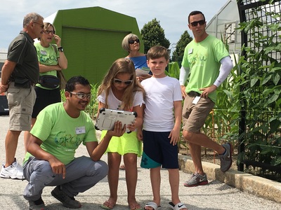
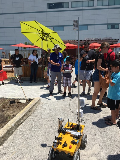
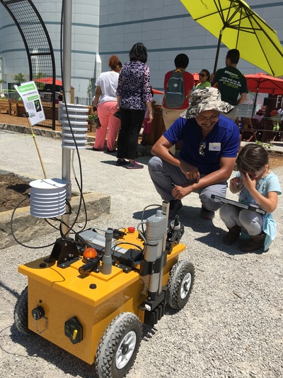
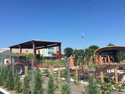
St. Louis Science Center Agriculture Exhibit: science to public
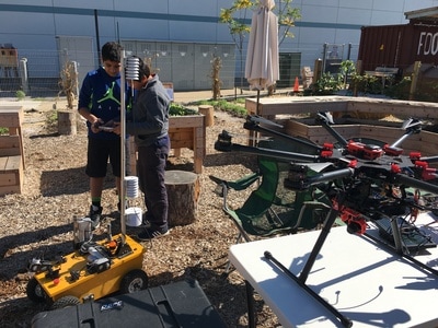
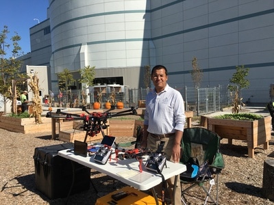
Robots and drones for agriculture: Remote Sensing Lab demonstrates the us of drones and robots ('Growbot') to public on every Friday.
|
Science to public Agriculture Exhibit
|
A cloudy day at Saint Louis Science Center
|
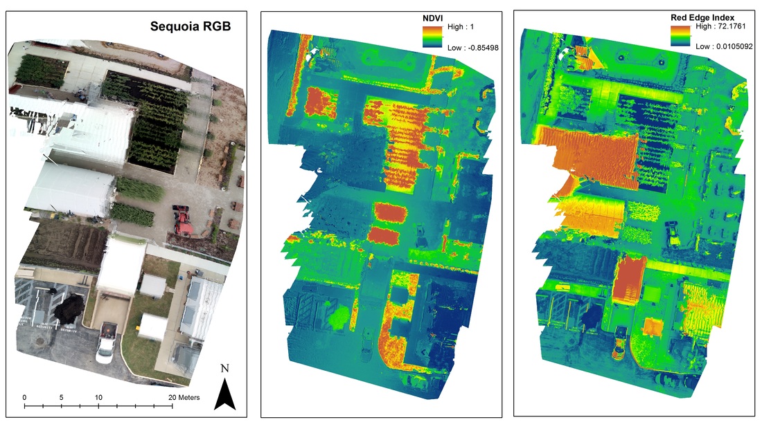
Plant health maps - RGB, NDVI and Red-Edge
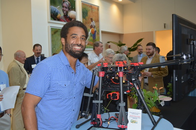
Conversation: PEOPLE, PLANTS AND PARTNERSHIPS
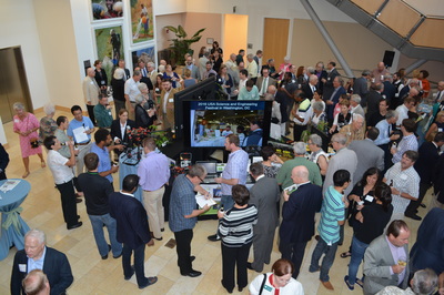
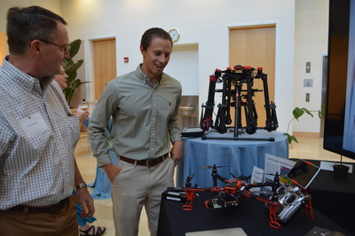
Ethan Shavers and Kyle Peterson demonstrated Drones use for agriculture at Danforth Plant Science Center Conversation Series on August 25, 2016
