Remote Sensing Lab, ​Saint Louis University
  • Home
  • People
  • Research
    • Climate Change and Ag. >
      • Precision Agriculture >
        • SustaiN
      • Bioenergy
    • AI / Machine Learning
    • Water Quality
    • Land subsidence
    • Archaeology
  • Publications
  • Facilities
    • LiDAR
    • Drones and Cameras
    • Spectroscopy & Proximal Sensors
    • High-End Computing
  • Data Services
  • Media
  • UAS Workshop
  • Contact

Drones

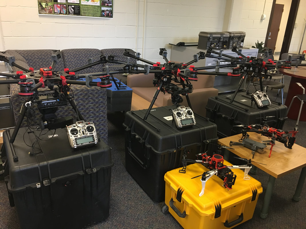
​​Our lab is equipped with a number a fleet of unmanned aerial systems (UAS) and a number of remote sensing sensors including hyperspectral, thermal and multispectral cameras, a hand-held spectroradiometer,  and airborne data calibration instrument.
  • 15 DoD-compliant UAVs
    • 5 Inspired Flight IF1200A
    • 8 Skydio drones (Skydio X10, X2)
    • 1 Watson Prism
    • 1 Alta X
  • Hyperspectral: Headwall Coaligned VNIR + SWIR, Headwall Nano VNIR, Bayspec OCI-F
  • Thermal: MicroTABI-640 cooled thermal camera, FLIR Vue Pro R and ICI 8460-P
  • ​RGB: Sony A7R II (42 MP), R10C (20 MP), multiple MAPIR and GoPro cameras
  • ​Multipsectral: MicaSense RedEdge-M, Sentera
Picture

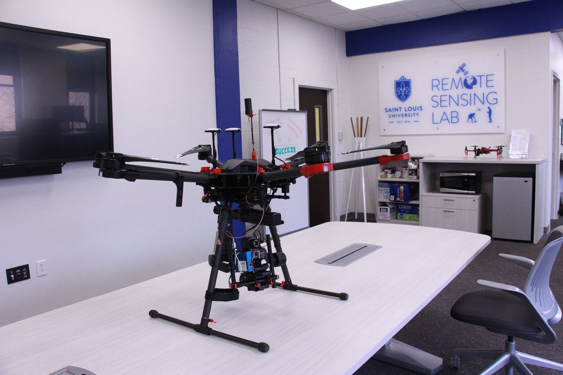
Inspired Flight 1200A

The Remote Sensing Lab owns five Inspired Flights 1200A UAV systems with different sensor combinations.
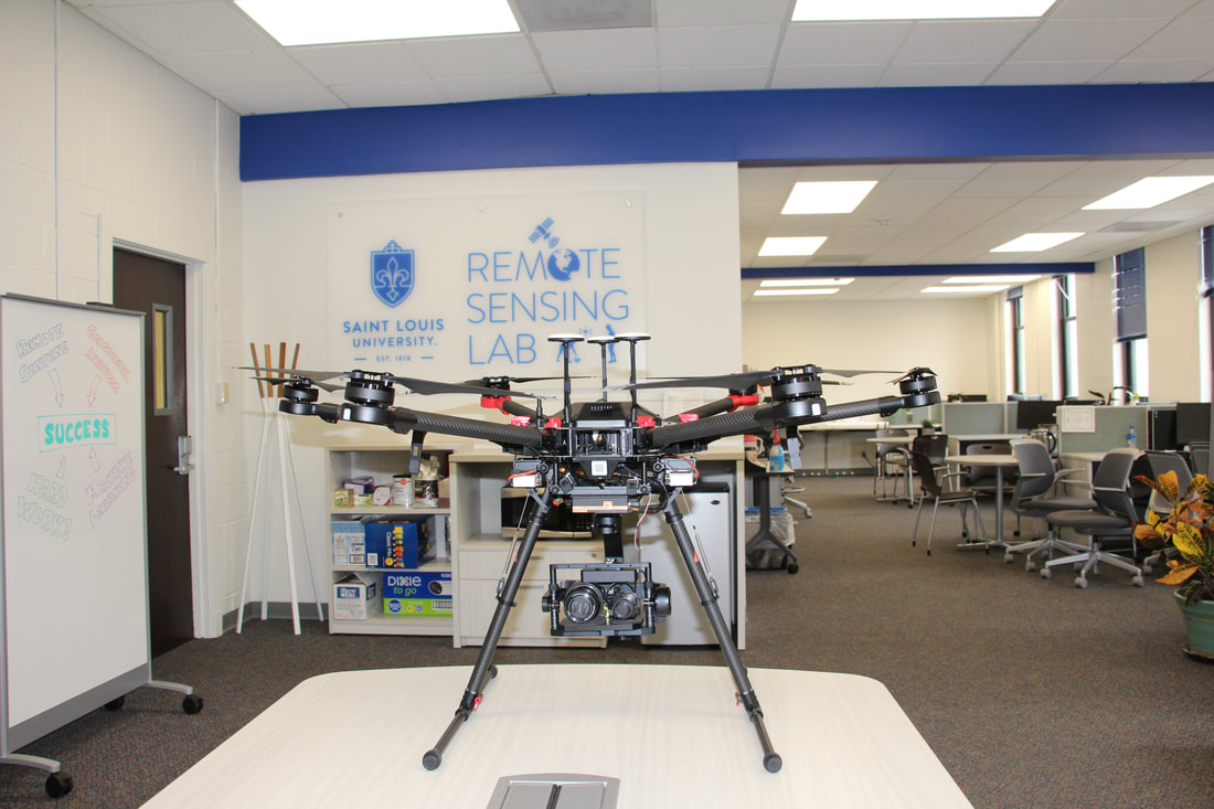
Picture
Picture

Matrice 600 Pro

Remote Sensing Lab owns three Matrice 600 Pro UAV systems with different sensor combinations.
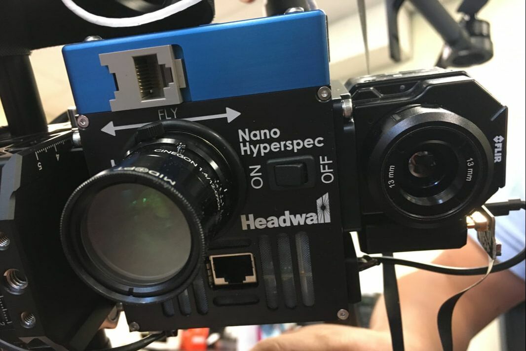
(1) Hyper:  integrated with the Nano-Hyperspec® 
VNIR (400-1000nm) sensor and FLIR Vue Pro R thermal camera and APX-15 GPS/IMU.
Picture
Picture
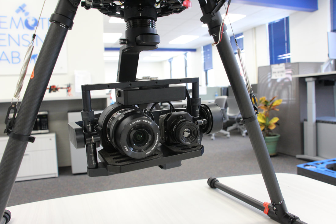
(2) LiDAR: integrated with Velodyne HDL-32 LiDAR and Sony A7R II 42 MP full frame visual camera. 
Picture
Picture
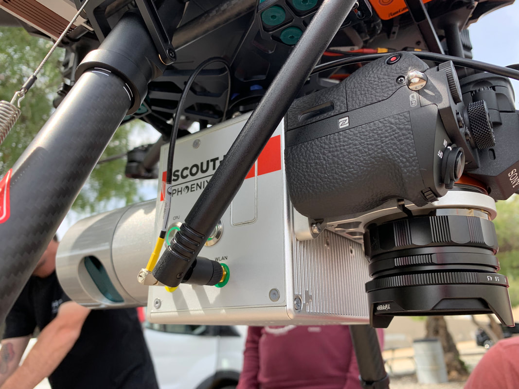
(3) Thermal: ICI 8640 P-Series thermal camera and Sony R10C 20 MP full frame visual camera was integrated to Matrice 600 Pro with Gremsy T3 gimbal and custom built mounting plate​.  Additionally, Mica Sense RedEdge-M camera is mounted to this bird with custom build, 3D printed mount.
Picture
Picture

Selected Projects and Data


Proudly powered by Weebly
  • Home
  • People
  • Research
    • Climate Change and Ag. >
      • Precision Agriculture >
        • SustaiN
      • Bioenergy
    • AI / Machine Learning
    • Water Quality
    • Land subsidence
    • Archaeology
  • Publications
  • Facilities
    • LiDAR
    • Drones and Cameras
    • Spectroscopy & Proximal Sensors
    • High-End Computing
  • Data Services
  • Media
  • UAS Workshop
  • Contact